Laki or Lakagígar (Craters of Laki) is…
1783 CE
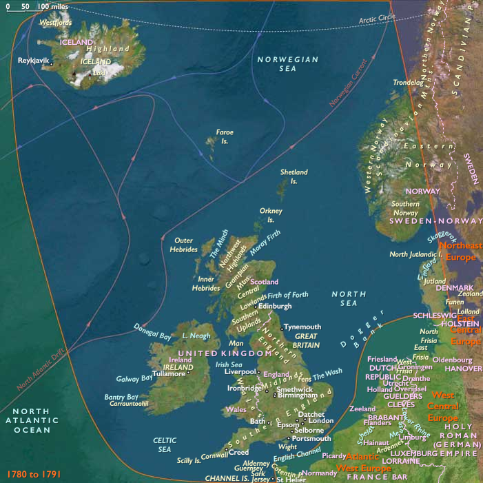
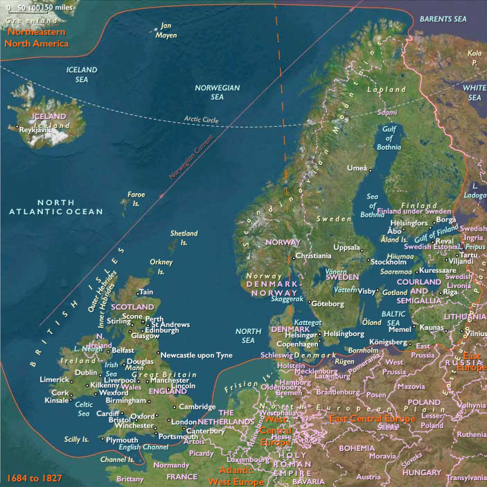
Laki or Lakagígar (Craters of Laki) is a volcanic fissure in the south of Iceland, not far from the canyon of Eldgjá and the small village of Kirkjubæjarklaustur.
Lakagígar is the correct name, as Laki mountain itself does erupt, as fissures open up on each side of it.
Lakagígar is part of a volcanic system centered on the volcano Grímsvötn and including the volcano Thordarhyrna.
It lies between the glaciers of Mýrdalsjökull and Vatnajökull, in an area of fissures that run in a southwest to northeast direction.
The system eruptd violently over an eight-month period between June 1783 and February 1784 from the Laki fissure and the adjoining volcano Grímsvötn, pouring out an estimated forty-two billion tons 14 km3 (3.4 cu mi) of basalt lava and clouds of poisonous hydrofluoric acid and sulfur dioxide compounds that contaminate the soil, leading to the death of over fifty percent of Iceland's livestock population, and the destruction of the vast majority of all crops.
This leads to a famine that then kills approximately twenty-five percent of the island's human population.
The lava flows also destroys twenty villages.
Locations
Subjects
Regions
North Europe
View →Subregions