Middle America (7,821–6,094 BCE): Early Holocene — …
Years: 7821BCE - 6094BCE
Middle America (7,821–6,094 BCE): Early Holocene — Two Oceans, One Corridor Civilization-in-Embryo
Geographic & Environmental Context
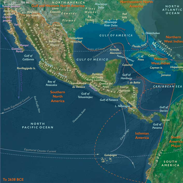
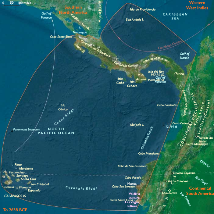
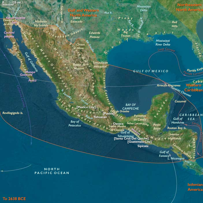
Middle America joins Southern North America (Mexico → Nicaragua) with Isthmian America (Costa Rica–Panama–Darién and Ecuador’s capes).
Volcanic piedmonts and lake basins step down to mangrove estuaries, bar-built lagoons, and cape-bound bays on the Pacific; karst lowlands and lagoon coasts fringe the Gulf/Caribbean. Short isthmian portages and tidal creeks tie the seas.
Anchors: Basin of Mexico lakes; Balsas–Tehuacán–Oaxaca valleys; Usumacinta–Grijalva–Motagua; Soconusco/Nicoya/Azuero coves; Manta–Santa Elena capes & lagoons; Darién–Chocó rainforests; seasonal San Andrés node; Galápagos unpeopled outliers.
Climate & Environmental Shifts
Holocene optimum delivered reliable wet–dry seasonality. Lakes and estuaries stabilized; Pacific upwelling kept nearshore fisheries rich; karst aguadas and lee-basin tank beds buffered drier pulses. Perfect conditions for semi-sedentary rounds and garden tending.
Subsistence & Settlement
A coast–river–valley portfolio matured across both spheres:
-
Southern North America: lake/river hamlets with broad-spectrum fishing–foraging; slope gardens of teosinte, squash/gourd, chile, amaranth, avocado near camps; cove–lagoon villages on Pacific/Gulf with shellfish, fish, turtles.
-
Isthmian America: recurrent hamlets on Nicoya, Azuero, Manta–Santa Elena exploiting estuarine fish/turtle/shellfish with inland tubers/fruits; Darién rounds added upland hunts and sago-like palms; San Andrés used seasonally; Galápagos remained unpeopled.
Everywhere, settlement was semi-sedentary and nodal, returning to springs, levees, dunes, and capes.
Technology & Material Culture
Ground-stone mortars/querns, polished adzes; nets, weirs, basket traps; dugouts (improving hulls along Pacific capes); coarse early pottery appears late at some capes/estuaries; barkcloth, cordage, and drying racks supported storage.
Movement & Interaction Corridors
Braided logistics defined the region:
-
Pacific cape trunklines: Manta/Santa Elena ⇄ Panamá ⇄ Nicoya.
-
Isthmian portages through Darién linked oceans.
-
River spines (Usumacinta–Grijalva–Motagua) ferried stone, pigments, salt, and cured foods between interior gardens and the littoral.
These redundancies turned storms or late runs into manageable detours.
Cultural & Symbolic Expressions
Shrine-stones at springheads and landings; shell-midden ancestral places at bays and river mouths; feast cycles timed to fish/turtle seasons; cave altars and garden-edge offerings wove tenure and reciprocity into everyday subsistence.
Environmental Adaptation & Resilience
Security rested on storage + transported landscapes + exchange: smoked fish, dried mollusks, nut/fruit pastes; multi-ecozone rounds (cape slope plot + levee grove + dune bar camp); cabotage and portage obligations redistributed surpluses after shocks.
Long-Term Significance
By 6,094 BCE, Middle America functioned as an interoceanic corridor world: semi-sedentary lagoons and lake margins, slope gardens in embryo, and canoe freight knitting capes to caves. These habits—route scheduling, niche engineering, grove curation, and feast-based governance—compose the operating code from which later gold–shell–cotton networks, ceramic florescence, and formal seaside polities would grow.
Groups
Commodoties
Subjects
Regions
Subregions
Related Events
Showing 10 events out of 69350 total
Years: 7821BCE - 6094BCE
Groups
Commodoties
Subjects
Regions
Subregions