Lapérouse proposes as early as March 1785…
February 1785 CE
The best-known figure from Cook's missions, Joseph Banks, intervenes at the Royal Society to obtain for Monneron two inclining compasses that had belonged to Cook.
Furnished with a list produced by Charles Pierre Claret de Fleurieu, Director of Ports and Arsenals, Monneron also buys scientific instruments from some of the largest English firms, particularly Ramsden.
He even surpasses Fleurieu's directives by acquiring two sextants of a new type.
Lapérouse is well liked by his men.
Among his one hundred and fourteen-man crew there are ten scientists: Joseph Lepaute Dagelet (1751–1788), an astronomer and mathematician; Robert de Lamanon, a geologist; La Martinière, a botanist; a physicist; three naturalists; and three illustrators, Gaspard Duché de Vancy and an uncle and nephew named Prévost.
Another of the scientists is Jean-André Mongez.
Even both chaplains are scientifically schooled.
One of the men who applies for the voyage is a sixteen-year-old Corsican named Napoléon Bonaparte.
Bonaparte, a second lieutenant from Paris's military academy at this time, makes the preliminary list but he will ultimately not be chosen for the voyage list and will remain behind in France.
At this time, Bonaparte is interested in serving in the navy rather than army because of his proficiency in mathematics and artillery, both valued skills on warships.
Copying the work methods of Cook's scientists, the scientists on this voyage will base their calculations of longitude on precision watches and the distance between the moon and the sun followed by theodolite triangulations or bearings taken from the ship, the same as those taken by Cook to produce his maps of the Pacific islands.
As regards geography, Lapérouse will decisively show the rigor and safety of the methods proven by Cook.
From his voyage, the resolution of the problem of longitude is evident and mapping attains a scientific precision.
Impeded (as Cook had been) by the continual mists enveloping the northwestern coast of America, he will not succeed any better in producing complete maps, though he will manage to fill in some of the gaps.
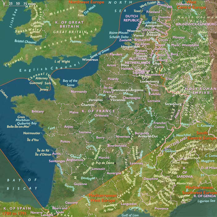
Locations
Regions
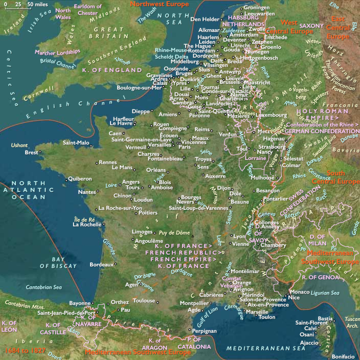
West Europe
View →Subregions