Interior East Africa (49,293–28,578 BCE) Upper Pleistocene…
49293 BCE to 28578 BCE
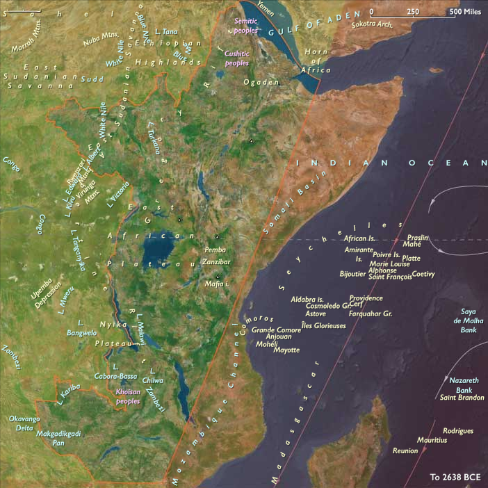
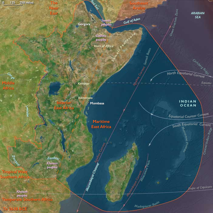
Interior East Africa (49,293–28,578 BCE) Upper Pleistocene I — Rift Foragers, Highland Refugia, and Wetland Routes
Geographic and Environmental Context
The inland core of East Africa, covering:
-
Eritrea and Djibouti,
-
the Ethiopian Highlands,
-
South Sudan,
-
the Great Lakes region (Uganda, Rwanda, Burundi),
-
inland Kenya and Tanzania (Rift Valley belts),
-
Zambia, northern Zimbabwe, northern Malawi, and northwestern Mozambique.
Anchors: Lake Tana & Blue Nile headwaters, Axum/Yeha uplands, Upper Nile–Sudd wetlands, Lake Victoria, Lake Tanganyika, Lake Malawi, Rift Valley escarpments (Kenya–Tanzania), Rwenzori–Virunga highlands, Zambezi corridor.
-
Rift lakes (Victoria, Tanganyika, Malawi) lower than present but still extensive.
-
Ethiopian Highlands offered perennial springs and montane refugia.
-
Upper Nile Sudd wetlands fluctuated seasonally.
Climate & Environmental Shifts
-
LGM aridity: reduced rainfall, grassland expansion, glaciers present on Rwenzori.
-
Rift lakes contracted but remained productive.
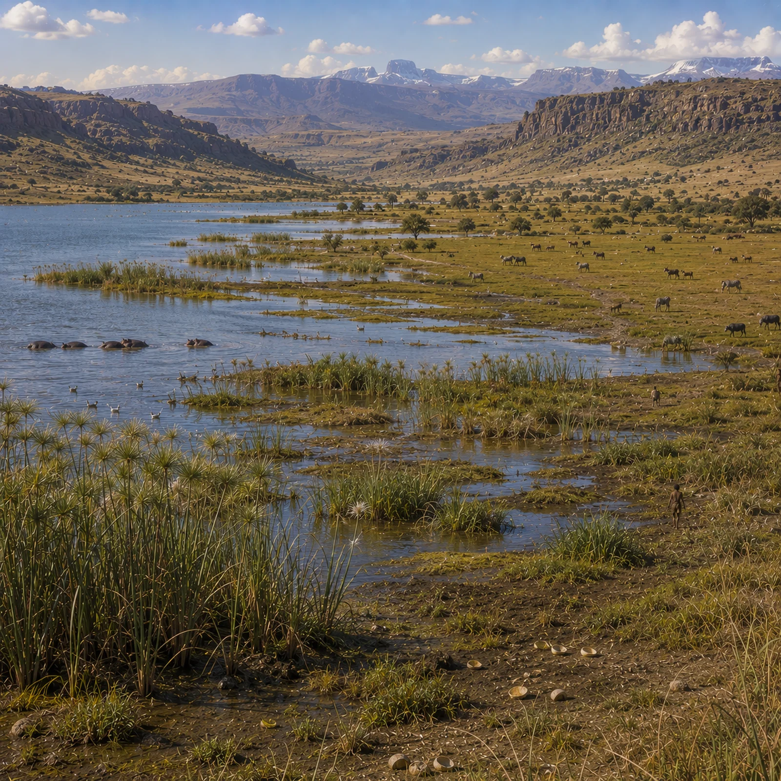
Subsistence & Settlement
-
Foragers exploited fish, mollusks, hippo, and crocodile in lake margins.
-
Hunting of antelope, zebra, buffalo on savannas.
-
Highland refugia in Ethiopia sustained small hunter groups.
Technology & Material Culture
-
Flake-based industries; bone harpoons for fishing; ground ochre.
-
Ostrich eggshell beads show symbolic life.
Movement & Interaction Corridors
-
Nile corridor linked Ethiopian Highlands to Sudan and Egypt.
-
Rift lakes provided canoe/raft driftways.
Cultural & Symbolic Expressions
-
Beads, ochre use; symbolic rock shelters.
Environmental Adaptation & Resilience
-
Mobility between wetland and savanna zones buffered drought stress.
Transition
By 28,578 BCE, Interior East Africans had stabilized a lacustrine–savanna dual adaptation.
Images
Interior East Africa in the Upper Paleolithic
Subjects
Regions
East Africa
View →Subregions