South Central Europe (28,577 – 7,822 BCE)…
28577 BCE to 7822 BCE
South Central Europe (28,577 – 7,822 BCE) Upper Pleistocene II — Deglaciation, Lake Basins, and Terrace Camps
Geographic and Environmental Context
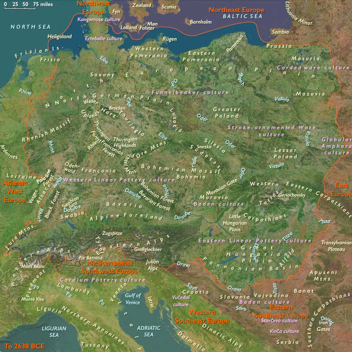
Western Southeast Europe includes southern and western Austria (including Carinthia; excluding Salzburg), Liechtenstein, Switzerland (excluding Basel and the eastern Jura), southeastern Swabia (southeastern Baden-Württemberg), and southwestern Bavaria.-
Anchors: the Inn–Adige (Etsch)–Brenner and Reschen passes (Tyrol), the St. Gotthard (Reuss–Ticino trunk), the Great St. Bernard–Valais–Rhône gateway, the Swiss Plateau (Zürich–Bern–Aare), the Upper Rhine headwaters, the Drava–Carinthia valleys, and the Lake Constance–Rheintal–Liechtenstein hinge.
-
Bølling–Allerød warming expanded forests; Younger Dryas briefly reversed; Early Holocene warmth stabilized lakes and rivers.
Subsistence & Settlement
-
Broad-spectrum foraging: red deer, wild boar, fish and waterfowl; nut gathering in mixed forests.
-
Seasonal lake-edge camps and rock shelters proliferated.
Technology & Material Culture
-
Microblades continued; bone harpoons and gorges; early dugouts for lake/river mobility.
Movement & Interaction Corridors
-
St. Gotthard, Great St. Bernard, Brenner/Reschen reopened seasonally; Rheintal and Aare axes integrated plateau and passes.
Cultural & Symbolic Expressions
-
Lakeside ritual deposits; ochred burials; incised bone/antler.
Images

South Central Europe in the upper Paleolithic II
Topics
Subjects
Regions
Central Europe
View →Subregions
