Filters:
Alonso Álvarez de Pineda
Spanish explorer and cartographer
Years: 1494 - 1520
Alonso Álvarez de Pineda (1494-1520) is a Spanish explorer and cartographer whose map marks the first document in Texas history.
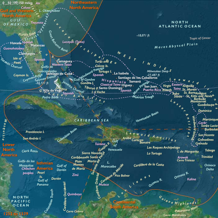
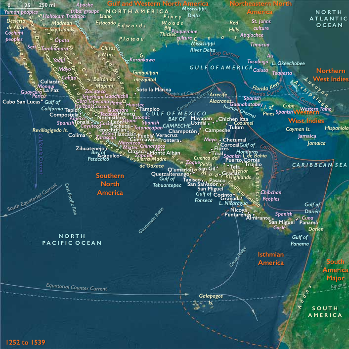
In 1517, Alonso Alvarez de Pineda leads several expeditions to map the western coastlines of the Gulf of Mexico, from the Yucatán Peninsula to the Pánuco River, just north of Veracruz.
Ponce de León had previously mapped parts of Florida, which he believed to be an island.
Alaminos's expedition eliminates the western areas as being the site of the passage, leaving the land between the Pánuco River and Florida to be mapped.