Periods
Worlds
Regions
Subregions
Subjects
Commodities
About
Home
The Far West
The Far West
Regions
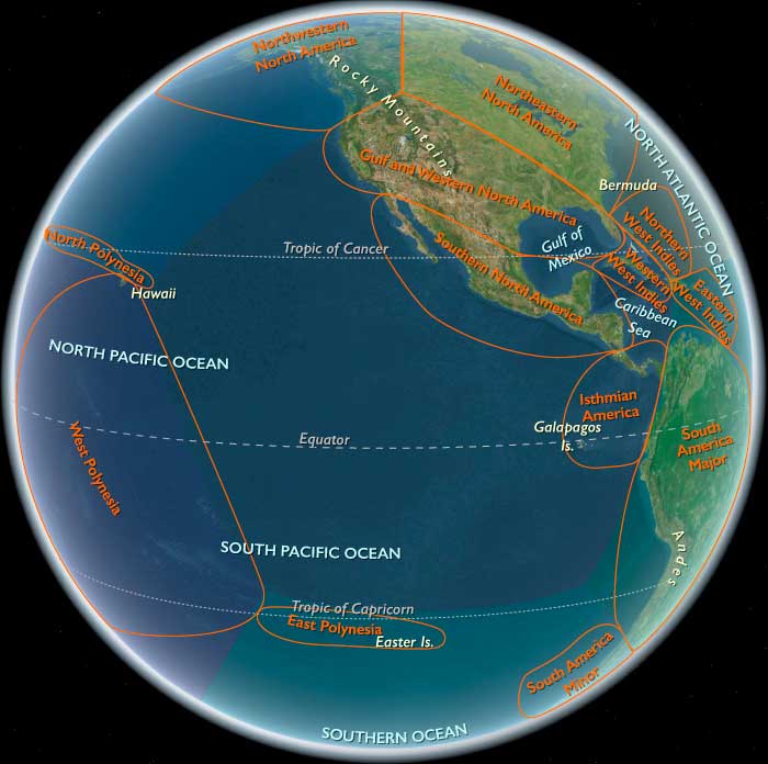
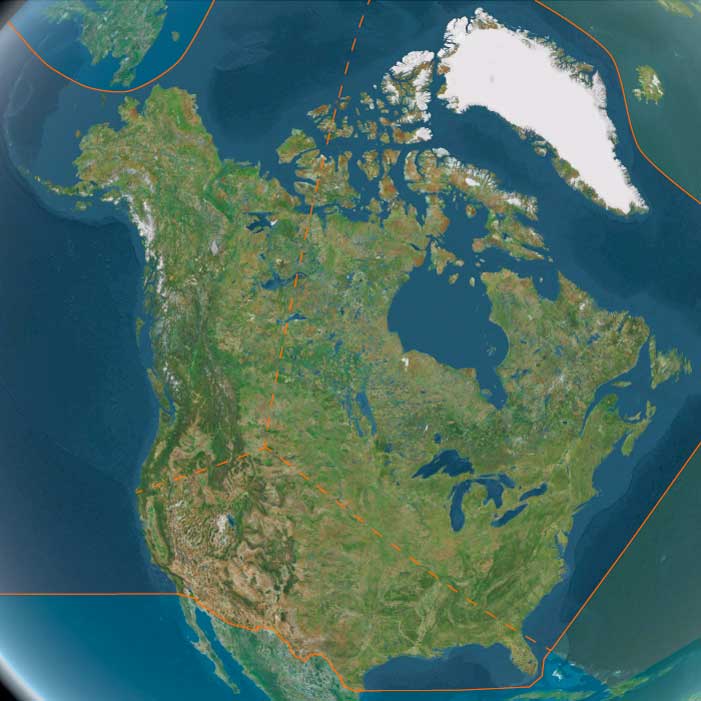
Northern North America
View →
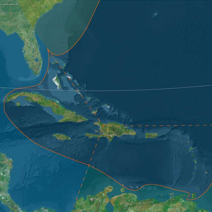
West Indies
View →
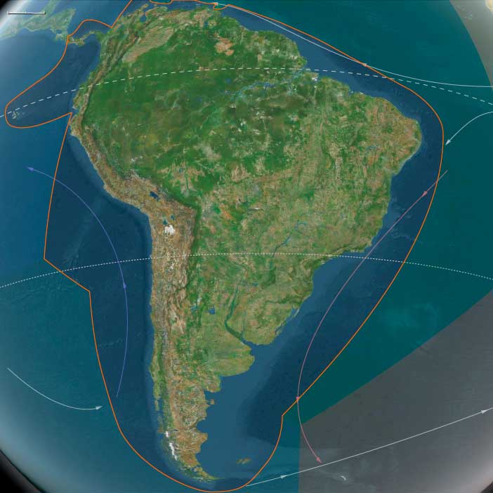
South America
View →
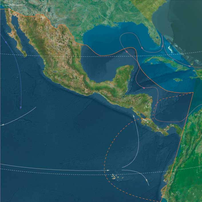
Middle America
View →
Related Events
Loading related events…
Narrow Results By
Search terms
Period
---------
Start year
End year
World
---------
Region
---------
Subregion
---------
Group
---------
Subject
---------
Person
---------
Commodity
---------
Location
---------
Event
---------