The origins of the Ordnance Survey lie…
June 1791 CE
Prince William, Duke of Cumberland, had realized that the British Army did not have a good map of the Scottish Highlands to locate Jacobite dissenters such as Simon Fraser, 11th Lord Lovat so that they could be put on trial.
In 1747, Lieutenant-Colonel David Watson had proposed the compilation of a map of the Highlands to help to subjugate the clans.
In response, King George II had charged Watson with making a military survey of the Highlands under the command of the Duke of Cumberland.
Among Watson's assistants were William Roy, Paul Sandby and John Manson.
The survey was produced at a scale of 1 inch to 1000 yards (1:36,000) and included "the Duke of Cumberland's Map" (primarily by Watson and Roy), now held in the British Library.
Roy later had an illustrious career in the Royal Engineers (RE), rising to the rank of General, and he was largely responsible for the British share of the work in determining the relative positions of the French and British royal observatories.
This work is the starting point of the Principal Triangulation of Great Britain (1783–1853), and leads to the creation of the Ordnance Survey itself.
Roy's technical skills and leadership set the high standard for which the Ordnance Survey becomes known.
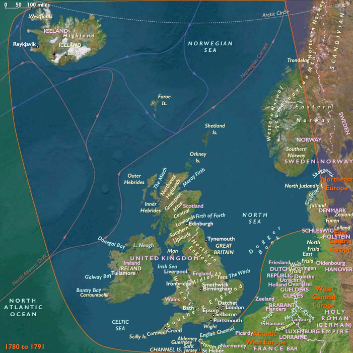
Work had begun in earnest in 1790 under Roy's supervision, when the Board of Ordnance (a predecessor of part of the modern Ministry of Defence) began a national military survey starting with the south coast of England.
By 1791, the year after Roy's death, the Board receives the newer Ramsden theodolite (an improved successor to the one that Roy had used in 1784), and work begins in June on mapping southern Great Britain using a five-mile baseline on Hounslow Heath that Roy himself had previously measured;.
Locations
Subjects
Regions
North Europe
View →Subregions