Periods
Worlds
Regions
Subregions
Subjects
Commodities
About
Home
The Ends of the Earth
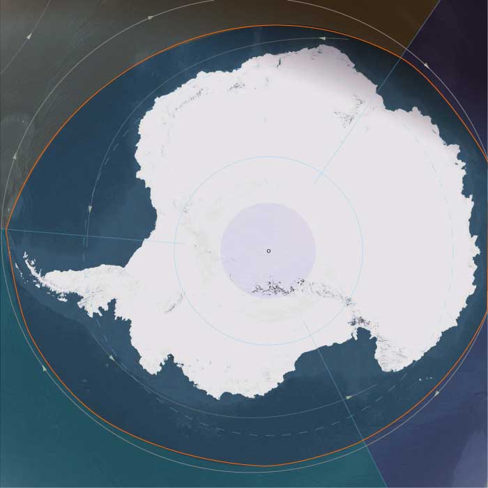
Antarctica
Antarctica
Subregions
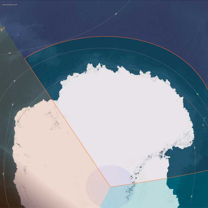
Eastern East Antarctica
View →
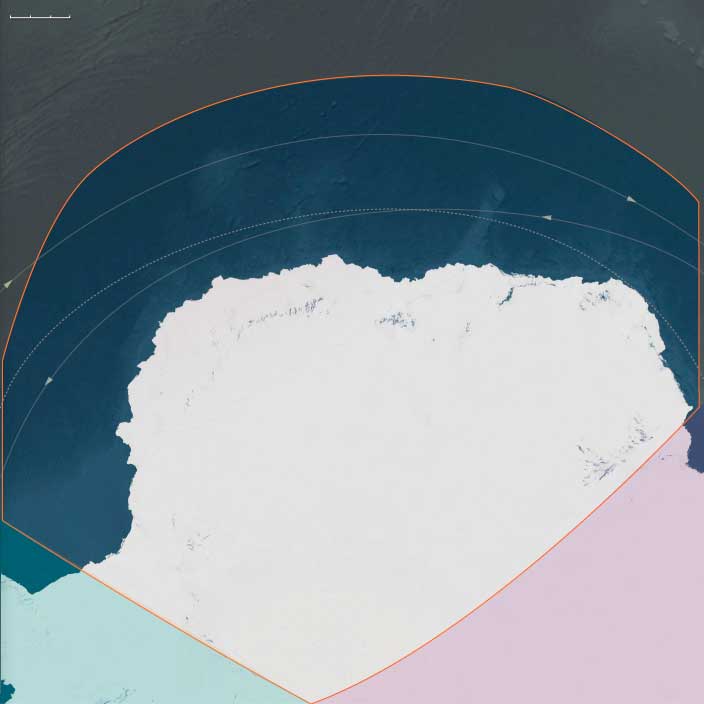
Western East Antarctica
View →
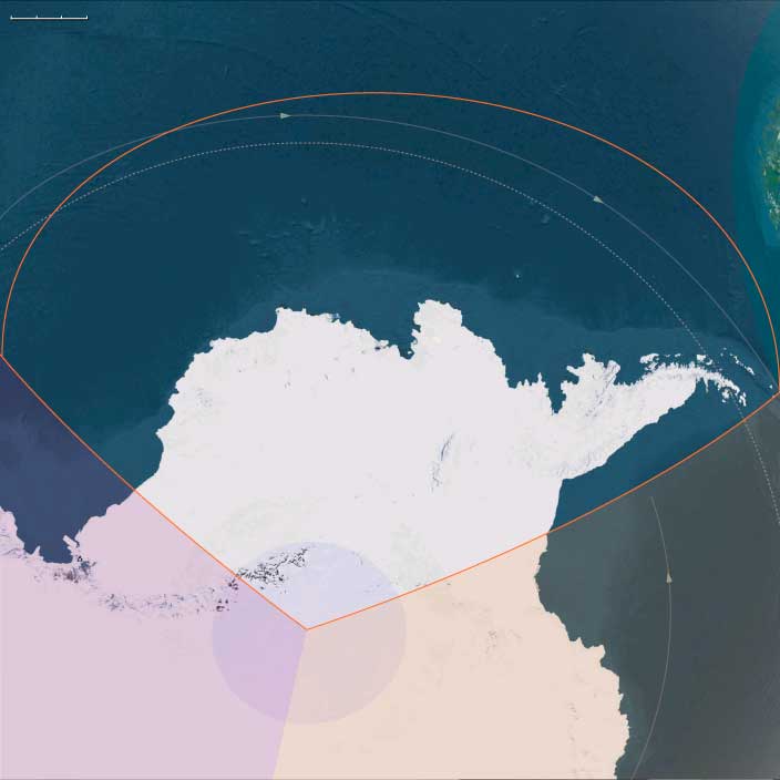
West Antarctica
View →
Related Events
Active Filters
Start Year: -2637
End Year: -909
World: Central Oceania
Region: Antarctica
Subregion: West Polynesia
Subject: Pharmacology
Refine Results
No related events match the current filters.
Narrow Results By
Search terms
Period
---------
Start year
End year
World
---------
Central Oceania
Region
---------
Antarctica
Subregion
---------
West Polynesia
Group
---------
Subject
---------
Pharmacology
Person
---------
Commodity
---------
Location
---------
Event
---------