
The plate could not be loaded.
Polynesia Collapse Brief Lapita Horizons, Voyaging Science, and the Unreached North Brief ‹ 3 subregions Lapita Horizons, Voyaging Science, and the Unreached North Explore events
Early Antiquity
Lapita Horizons, Voyaging Science, and the Unreached North
Polynesia · Northern Oceania · Central Oceania · The Ends of the Earth
Read the brief
Geography
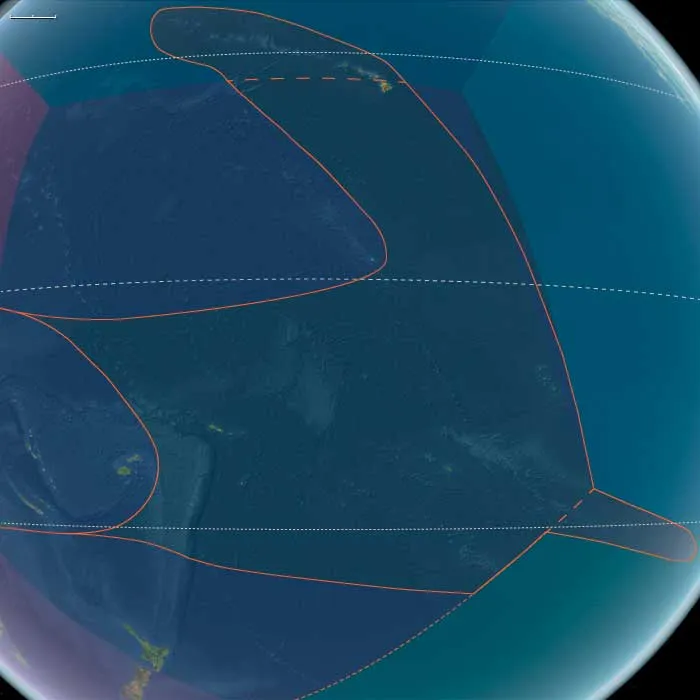
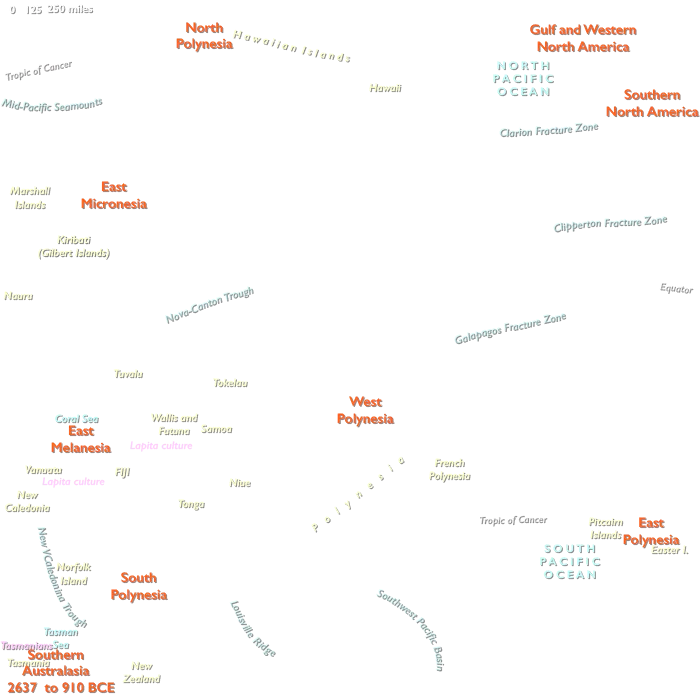
Polynesia comprised three project-defined subregions spread across the central and eastern Pacific. These divisions did not form simple contiguous west–north–east blocks.
| Subregion | Included islands |
|---|---|
| West Polynesia | Hawaiʻi Island; Tonga; Samoa; Tuvalu; Tokelau; Cook Islands; Society Islands; Marquesas |
| North Polynesia | Maui, Oʻahu, Kauaʻi, Molokaʻi, Lānaʻi, Niʻihau, and the northwestern Hawaiian chain through Midway |
| East Polynesia | Rapa Nui; Pitcairn, Henderson, Oeno, and Ducie |
South Polynesia was not part of this region; it belonged to Australasia.
The regional divisions were geographically discontinuous. West Polynesia included both Tonga and Samoa in the southwest Pacific and Hawaiʻi Island far to the north, as well as the Cook, Society, and Marquesas groups farther east. The boundary between West and North Polynesia therefore passed within the Hawaiian archipelago itself, with Hawaiʻi Island assigned to West Polynesia and the rest of the chain to North Polynesia.
East Polynesia consisted only of Rapa Nui and the Pitcairn group.
Taken together, the region encompassed high volcanic islands, limestone and raised-coral islands, low atolls, reef-and-lagoon systems, and some of the most isolated landmasses in the Pacific.
Historical Synthesis
2,637–2,200 BCE — An Entirely Unpeopled Oceanic Region
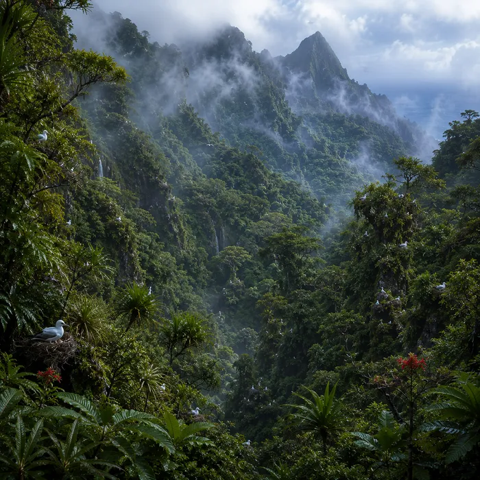
At the opening of Early Antiquity in 2,637 BCE, all of Polynesia lay beyond permanent human settlement.
The nearest inhabited Pacific worlds lay far to the west, among Island Southeast Asia, New Guinea, and Near Oceania.
Within Polynesia itself, island environments developed without cultivation, domestic animals, permanent villages, systematic burning, or other sustained human modification. Volcanic succession, erosion, reef growth, lagoon formation, rainfall, drought, and marine processes continued to shape the archipelagos independently.
2,199–1,700 BCE — Remote Oceania Begins to Fill
During the early second millennium BCE, the human geography of the western Pacific changed rapidly.
Austronesian-speaking communities associated with the Lapita cultural complex expanded through the Bismarck Archipelago and into previously uninhabited island groups of Remote Oceania.
This movement carried sophisticated seafaring, pottery, transported crops and animals, and recurrent inter-island exchange. It created the maritime system from which the eventual settlement of Polynesia would emerge.
At this stage, however, the expansion remained west of Polynesia itself.
1,699–1,300 BCE — Lapita Colonization Advances Eastward
During the middle second millennium BCE, Lapita communities moved farther east through island Melanesia.
This was sustained colonization rather than occasional exploration. Settlers transported people, domestic plants and animals, tools, pottery traditions, and social networks across substantial stretches of open ocean.
As settlement advanced toward Fiji, Tonga became the nearest Polynesian archipelago to permanently inhabited Remote Oceania.
This historical approach did not follow the project’s subregional divisions as geographic blocks. It was a specific west-to-east colonizing route directed toward the Fiji–Tonga passage.
1,299–1,100 BCE — Fiji Becomes the Immediate Gateway
During the later second millennium BCE, Lapita settlement became established in Fiji.
This reduced the remaining gap to Tonga to a major but navigable open-water passage. Voyaging among newly settled western Pacific islands was now recurrent, and communities maintained exchange, movement, and transported subsistence systems across substantial distances.
Tonga stood directly beyond that network, with Samoa next along the same broader western Polynesian corridor.
The more distant archipelagos—including the Cook Islands, Societies, Marquesas, Hawaiian chain, Pitcairn group, and Rapa Nui—remained far outside this first colonizing sequence.
1,099–910 BCE — Tonga Approaches First Settlement
The final phase of the epoch brought Polynesia to the edge of permanent human occupation.
Lapita communities were already established in Fiji and capable of crossing the remaining passage to Tonga. Archaeological evidence places the founder settlement at Nukuleka on Tongatapu in the early ninth century BCE, only a short time after the exact endpoint of 910 BCE.
The chronological distinction is therefore important: Tonga was not yet securely settled at 910 BCE, but permanent occupation followed within only a few decades.
Once settlement began on Tongatapu, Lapita communities spread rapidly through the Tongan archipelago. Samoa followed along the same broader colonizing corridor, but its secure settlement likewise belongs beyond the endpoint of this epoch.
The first settlement sequence had not yet reached the Cook Islands, Society Islands, Marquesas, Hawaiʻi, Rapa Nui, or the Pitcairn group.
Legacy of the Age
Across 2,637–910 BCE, Polynesia changed chiefly in its relationship to the expanding inhabited Pacific.
At the beginning of the epoch, the entire region lay far beyond permanent settlement. Over the next seventeen centuries, Lapita communities moved through Remote Oceania, reached Fiji, and brought Tonga within immediate colonizing range.
At the exact endpoint of 910 BCE, permanent settlement within Polynesia had not yet securely begun. Tonga stood only decades from the founder occupation that would open the region’s human history.